Julius Kirmse Property
60
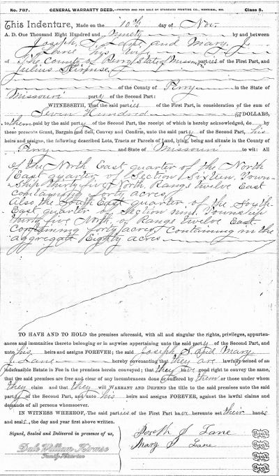
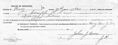
Julius Kirmse purchased 80 acres from Joseph S. Lane and his wife Mary J. Lane for $700 on 10 November 1890.
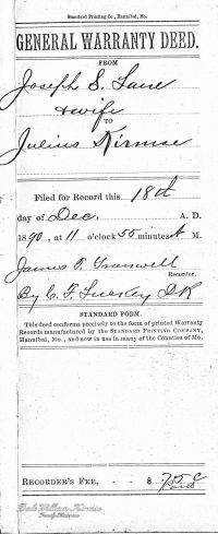
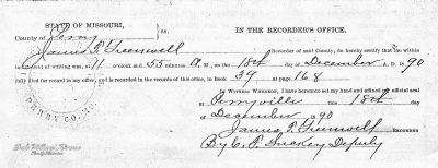
Documents
Presented below are the deed documents of the 80 acre purchase.
Where
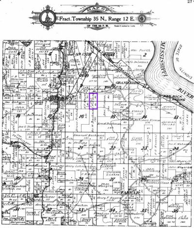
Property description: “the North East quarter of the North East quarter of Section Sixteen containing 40 acres. Also the South East quarter of the South East quarter of Section nine. Township Thirty Five North of Range Twelve East containing in the aggregate Eighty acres”.
The following map shows the location of the 80 acre property outlined in purple that Julius Kirmse purchased (Now owned by his granddaughter Helen Kirmse Hacker).
Notes
- In 1859, Julius paid $105 for 40 acres ($2.63/acre) and in this 1890 purchase he paid $700 dollars for 80 acres ($8.75/acre).
- The property was sometimes known as the “Wilburn place”.
