Julius Kirmse Property
62
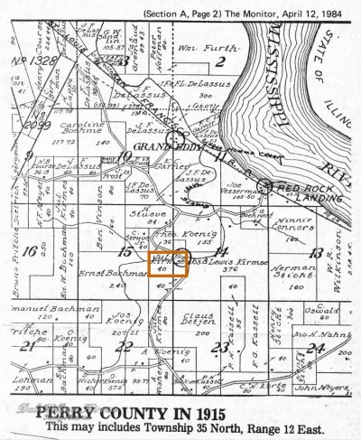
Julius Kirmse purchased 60 acres (outlined in orange on the 1915 landowners map below) from Peter V. Beauvais and his wife Rachel on 8 December 1865. (See Chapter: Julius Kirmse Land Purchase – 1865).
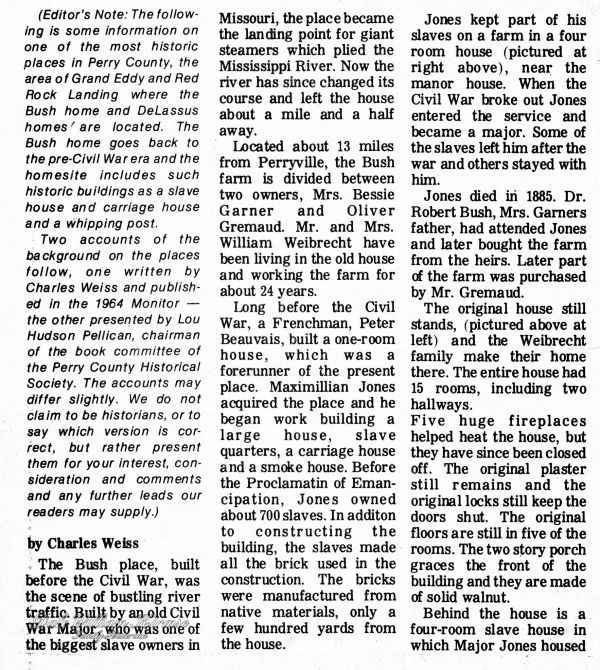
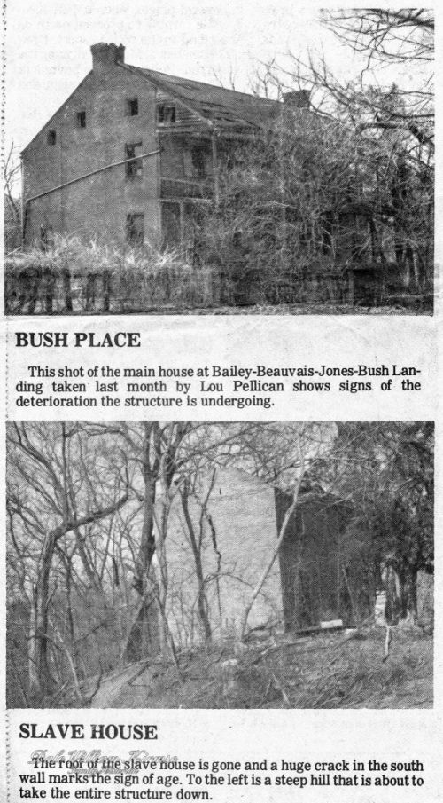
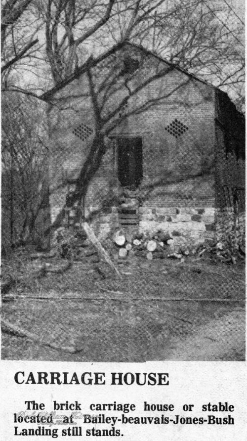
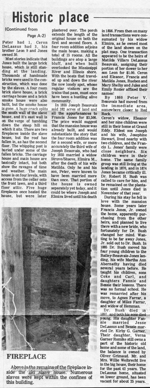
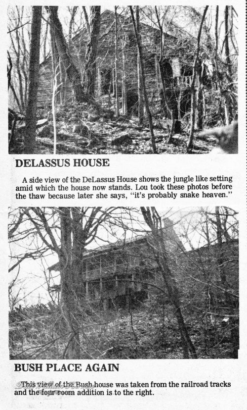
Historical information about the Beauvais and related families is given in the following newspaper article. According to the article, the circle at Omete Creek on the map (shown as being on the land that Julius purchased from Peter and Rachel Beauvais) was a ferry landing Possibly there is an error in the placement of this circle. After reading the article, where do you think the circle for this ferry landing should be placed on the map?
Newspaper Article

Notes
There is conflicting information about the second landing
- From the article, the second landing was about a quarter of a mile south of the landing at Grand Eddy(also known as DeLaussus, for it’s owner, Ceron E. DeLassus). This second landing was first known as Bailey’s Landing after the name of its first owner, Alexander Bailey, and later known as Beauvais after its second owner, Joseph V. Beauvais.
- From the State Historical Society of Missouri – Manuscript Collection – Perry County Place Names, 1928-1945, Bailey’s Landing was a “ferry landing on the Mississippi River, in the eastern part of Salem Township, maintained in 1873. Presumably named for its original owner. The landing was purchased by C.F. DeLassus, a well known farmer, before 1856. He was perhaps a member of the famous DeLassus family, best known of whom was Charles de Hault de Lassus de Luziere, last Spanish Lieutenant Governor of Upper Louisiana, for whom see the town of DeLassus in St. Francois County, in Miss Zimmer’s thesis”. (Campbell, Goodspeed, R.L. Ramsay) Source: Hamlett, Mayme L. “Place Names Of Six Southeast Counties Of Missouri.” M.A. thesis., University of Missouri-Columbia, 1938. See: http://shs.umsystem.edu/manuscripts/ramsay/ramsay_perry.html.
