Goodwin, Oklahoma – 2015
28
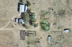
The following image is a Google Earth view of the former Kirmse farm unit. At the top (north) of the photo is a barn, in the middle is a house and to the left of the house is a small shed. On the bottom (south) of the photo round bales of hay are in the center and small sheds and cattle pens are to the right.
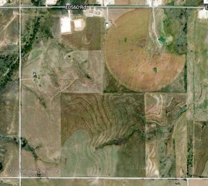
The following image is a Google Earth view of Ohio Township Section 19 (Township 20 North Range 25 West of the Indian Meridian, Oklahoma) which contains the William and Martha Kirmse properties. The quarter section in the middle lower half is the Martha Kirmse Property as distinguished by the terraces and darker color. To the left is the William Kirmse property.
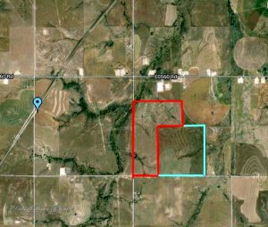
The William Kirmse property is outlined in red and the Martha Kirmse property is outlined in blue in the following image. Goodwin is denoted by the blue pin to the left of the image.
When John Krueger visited the Goodwin area in April of 2015[1], he also took roadside photographs of the Kirmse properties at the locations denoted on the following Google Earth map.
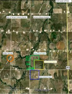
Several of these photographs are shown below. At location 03, are two photographs of the entrance to the driveway to the former Kirmse farm unit:
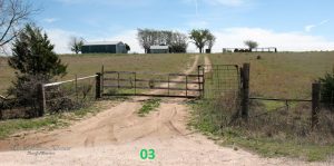
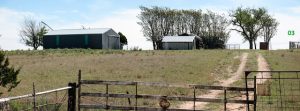
The metal barn (possibly a farm equipment storage building) is to the left. In the middle is a small shed and behind this shed appears to be a house. The windmill is visible right of the house in the center.
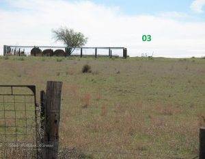
Below is another photo of the Kirmse farm unit – taken from the road slightly to the south of the previous photos at the driveway.
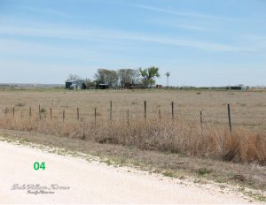
Where
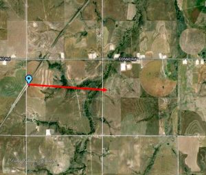
Goodwin, Ellis County, Oklahoma. The following Google Earth map shows Goodwin as a Blue Pin and a Red Arrow showing the approximately one mile distance to the Kirmse Farm Unit.
Notes
- Photos and comments shared by John Krueger on Facebook, April, 2015.
