Homestead Applications and Land Patents
17
Instead of settling at Alva, they went to the southwestern corner of the Cherokee Strip where the land did not cost as much. They took up a relinquished claim about one mile east of Goodwin and seven miles southeast of Shattuck[1].
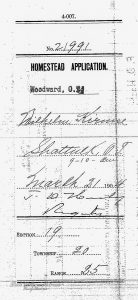
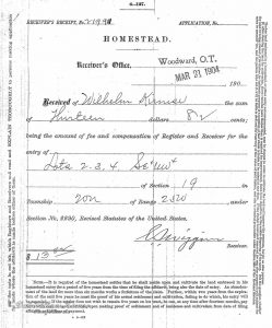
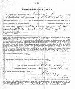
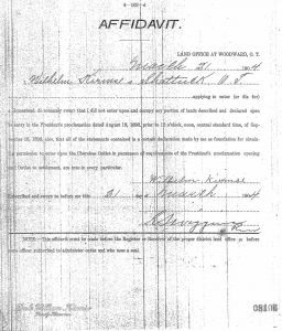
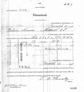
Included below is the original application paperwork beginning March 21, 1904 from the National Archives copy of Wilhelm Kirmse’s land entry file of Serial Patent Number 113523.
When
March 21, 1904. This was about five weeks after Wilhelm and Martha were married in Farrar, Missouri on February 11, 1904.
Where
Goodwin, Ellis County, Oklahoma – The Wilhelm Kirmse homestead was about 1 mile east Goodwin, Oklahoma and about 7 miles southeast of Shattuck, Oklahoma.
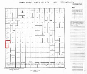
The following shows the 1876 Survey of Township 20 North Range 25 West of the Indian Meridian, Oklahoma (including section 19) which eventually became known as OHIO Township.
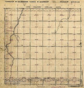
Note the lots on the west side of the township. These are correction blocks to account for the curvature of the earth. There are also corrections on the north side of each township.Note also the trees along the stream going through section 19. Trees were considered a scarce resource of wood on the flat prairie.
Notes
- KIRMSE, WILHELM (WILLIAM) family biography, from “Pioneer Footprints Across Woods County 1893-1975” by the Cherokee Strip Volunteer League, 1976. p.138.
