How was Germany monitored following World War II?
Step 1: Watch the videos USA vs. USSR, The Cold War.
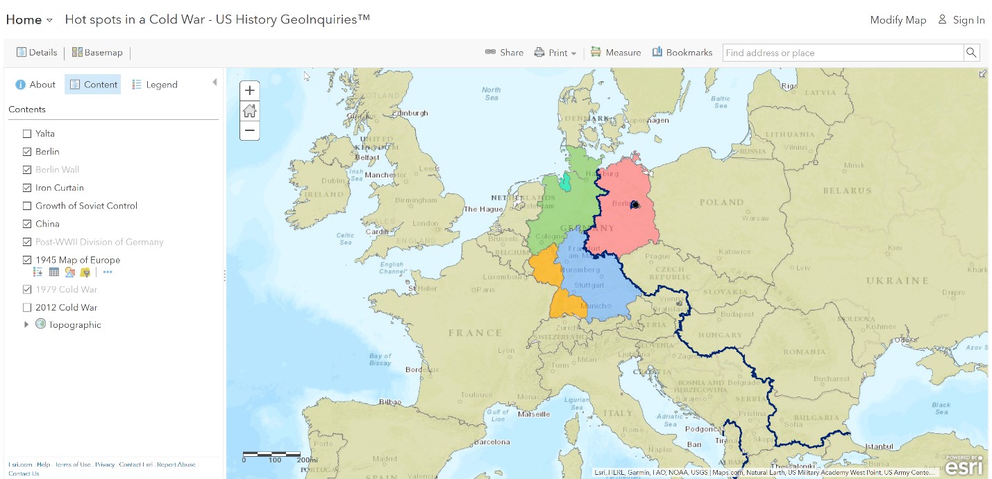
Step 2: Open up an Internet browser and go to the ArcGIS Online map, Hot Spots in a Cold War. Take a few moments to explore the map.
Step 3: Observe how Germany was divided and occupied at that time.
Step 4: Click the marker at Yalta. During this time, allied leaders met and drafted the Yalta Agreement.
Step 5: Click the Bookmark button and select Berlin.
- Which countries would control Germany?
Step 6: In the Bookmarks, now select Germany.
- Where was Berlin located?
How did U.S. and Soviet Union goals for postwar Europe differ?
Step 7: With the Details button underlined, click the button, Show Contents of Map (Content).
Step 8: Turn off all of the layers. Zoom to Eastern Europe.
- The reason why the U.S.S.R felt that Portland was the primary avenue for future attacks from Europe because it had flatter land, although the mountains to the south made attacks difficult.
Step 9: Click the Bookmark button and select Eastern Hemisphere.
Step 10: Turn on the layer, Growth of Soviet Control.
Step 11: Use the time slider at the bottom of the map to view changes to the U.S.S.R. (red) and the Soviet Satellite countries (purple) from 1939 onward.
- What were the reasons why the satellite countries were added?
How did the Soviet Union protect itself from democratic influence?
Step 12: Turn on the layer, Iron Curtain. Click the iron curtain symbol and read what it says.
- Using the Measuring tool, estimate the length of the Iron Curtain.
Step 13: Turn off the layer, Growth of Soviet Control.
Step 14: Click the bookmark button and select Berlin.
Step 15: Turn on the layer, Berlin Wall. Click the Berlin Wall to read the information within the pop-up.
- Was the Berlin Wall a real wall?
- The DRG built the wall to prevent the exchange of ideas?
Where did another clash between democracy and communism occur?
Step 16: Zoom in to the Eastern Hemisphere.
Step 17: Turn on the two layers China and Growth of Soviet Control, showing the addition of China as a communist country.
- The reason why other countries were concerned about China becoming a communist country was a concerned domino effect throughout Asia to could spread Communism.
Step 18: Turn on the two layers, China and Growth of Soviet Control. Choose the Lampedusa 2 bookmark and use the Measure tool to answer the questions below.
How effective were efforts to prevent the expansion of Communism?
Step 19: Use the bookmark to view the World bookmark.
Step 20: Add the 1979 Cold War layer.
- Was Communism spreading?
Step 21: Turn off the layer, 1979 Cold War.
Step 22: Turn on the layer, 2012 Cold War.
- How did the number of Communist countries change?
- Where did the changes occur?
Step 23: In your own opinion, how effective were the efforts to prevent the expansion of Communism.
https://www.youtube.com/watch?v=zadkWw702_M
