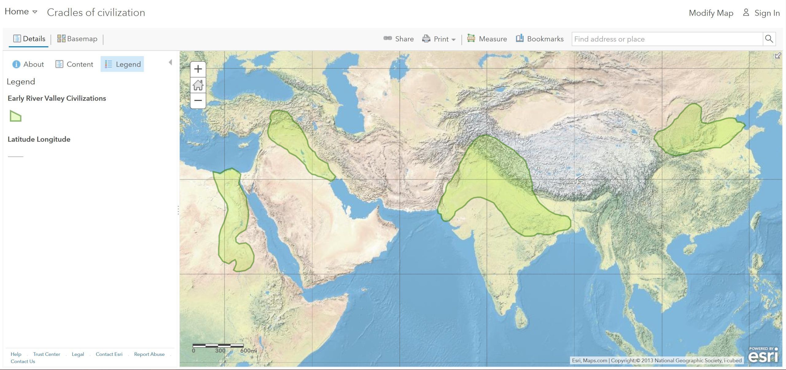
Ask: Where were the early civilizations located?
Step 1: Watch the following videos:
Step 2: Go to the ArcGIS Online map, Cradles of Civilization. Take a minute and explore the map. With the Details button depressed, click on the Content button.
Step 3: Click the latitude lines that bound the early river valley civilizations.
- What was the general geographic location of those civilizations?
Step 4: Note the connections between temperature and temperate climate zones. Continental climates tend to have warm to hot summers and cool to cold winters.
Acquire: What geographic factor was essential for the start of early civilizations?
Step 5: Turn on the layer, Major Rivers
- What did each early civilization have in common?
Explore: What benefits did the rivers provide?
Step 6: Click each river valley civilization and read the text and look at the photo. (Hint: You might need to click the arrow in the upper-right corner of the pop-up window.)
- What could be some possible effects of seasonal flooding on these river valley civilizations?
Analyze: What other geographic features were important?
Step 7: Turn on the layer, Arid, and semi-arid lands. Click Bookmarks and select the Nile.
- What geographic features do you observe near the Nile civilization?
Step 8: Repeat the two previous steps for each of the other three river valley civilizations.
- What geographic features do you observe with the remaining three civilizations?
- What geographic features do you observe with the remaining three civilizations?
- Why did the river valley civilizations develop where they did and persist over time?
Act: How did the population grow over time?
Step 9: Turn off the layer, Arid and semi-arid lands.
Step 10: Turn on the layer, World Population Density 2015.
Step 11: Using the bookmarks and the zoom and pan tools, observe the current population density patterns at each early civilization site.
- How does the population density today compare to the locations of the early river valley civilizations?
