Engage: can human actions alter water resources?
Step 1: Go to the ArcGIS Online map, Down to the Last Drop, and explore the map.
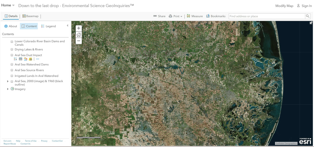
Step 2: Examine the recent view of the Aral Sea in Central Asia.
Step 3: With the Details pane visible, click the button, Show Contents of Map.
Step 4: Click the checkbox to the left of the layer name, Aral Sea, 2000 (image) & 1960 (black outline). The image is from 2000, and the outline shows the 1060 extent of the sea before humans began to alter water flow to the Aral Sea.
- One physical change that can be seen in the Aral Sea since humans altered the water flow is the smaller, shallower, upper portion remains more intact after a dam was added between the north and south sections.
Explore: where are other lakes and rivers that are drying up due to human actions?
Step 5: Click the Bookmarks button. Select one of the other location bookmarks for a closer examination.
Step 6: Click the map marker to view detailed information about human alterations to this water resource.
- What human events have caused changes in water resources?
- What natural events have caused changes in water resources?
Explain: why is the water to the Aral Sea decreasing?
Step 7: Click the Bookmark, Aral Sea Region.
- Do both rivers reach the Aral Sea? (Zoom in and out)
Step 8: Turn on the layer, Aral Sea Watershed Dams.
Step 9: Turn on the layer, Irrigated Lands in Aral Watershed.
- Do dams or canals have the most significant impact?
- What factors could influence the placement of the dams and canals?
Elaborate: how would the Aral Sea drying up affect the surrounding areas?
Step 10: Turn on the layer, Aral Sea Dust Impact. Zoom out to see the impact area.
Step 11: Increased dust and salt storms sometimes send dust 500 km from the Aral Sea.
- Dry lake beds of the salty sea that have no vegetation are causing the dust and salt storms. (T/F)
- What environmental, economic, and human health effects might this have on the surrounding areas? (Look closely at the areas within the buffer.)
Evaluate: how has human alteration affected the Colorado River?
Step 12: Press the button, Bookmarks. Select the Colorado River Basin Dams and Canals.
Step 13: Zoom in and out to identify human alterations and causes.
- What are some similarities and differences between the effects of human alterations on the Colorado River and the Aral Sea?
